Overview

Now available statewide!
$1.7 million available for landowner payments (as of February 2025). This program will take continuous applications until we run out of funding. Applications will be reviewed at the end of each month.
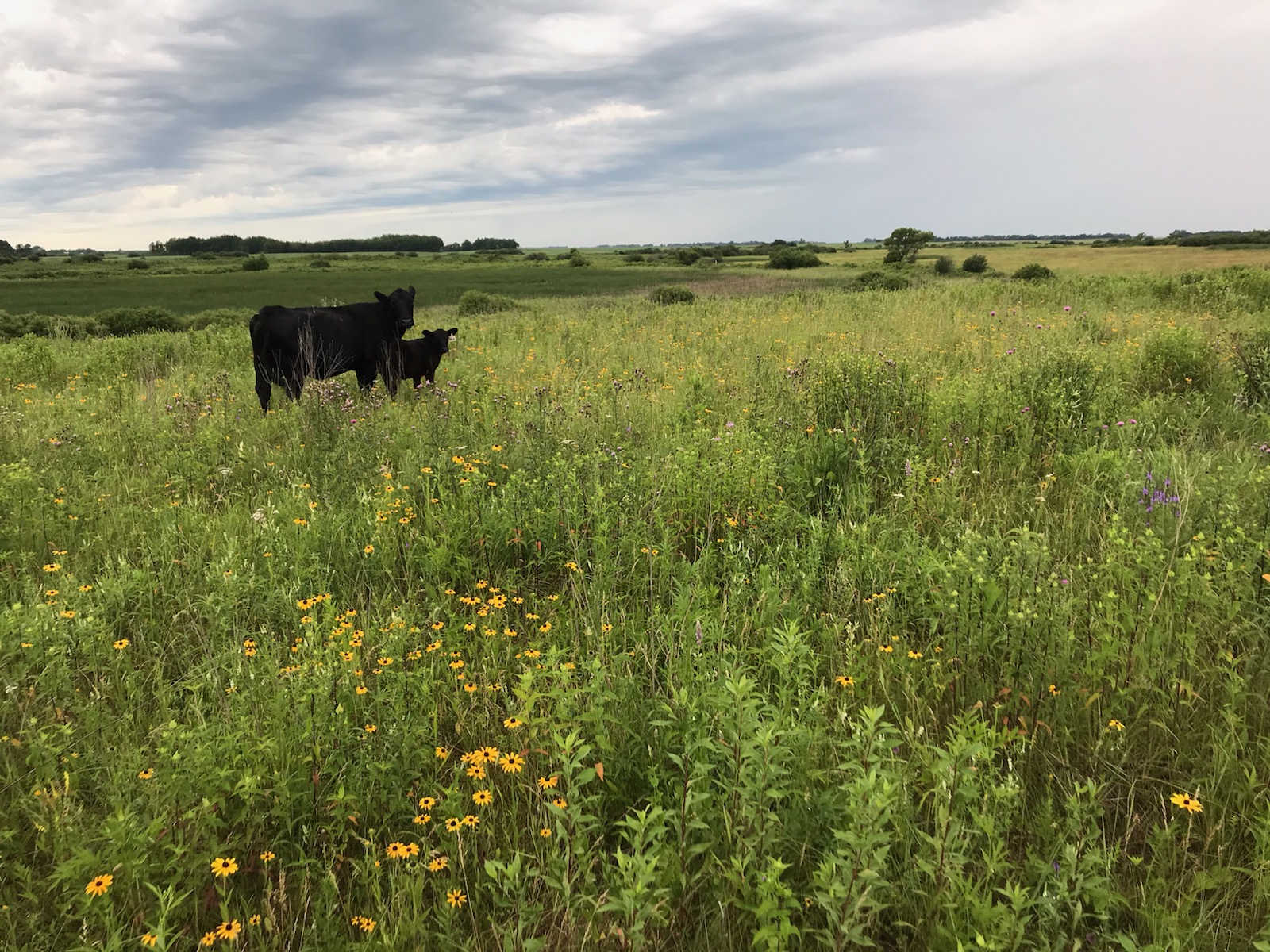
The purpose of the RIM Grazing easement program is to protect existing grazing lands for the benefit of surface and groundwater through “working lands” easements. Priority is given to lands that are used predominantly for grazing but can also encompass adjacent areas that are beneficial to wildlife. A grazing plan is required for all lands that will be grazed.
Program Details
The scoring/parcel prioritization will include the following criteria:
- Grazing land complex size
- Connectivity
- Adjacency to public waters and public ditches
- Habitat benefits
- Adjacency to protected lands
- Comprehensive Watershed Management Plan (CWMP) priority
Easement Application Materials
- RIM Application Guidance (pdf)
- Easement Acquisition Checklist (pdf)
- Conservation Easement Application (pdf)
- Area Assessment Form Word document (docx)
- RIM Grazing Scoresheet
- Conservation Easement Financial Worksheet (CEFW) - Tax Assessed Calculation (xlsm)
- Agreement Information Form Word Document (docx)
- W-9 Form (IRS Website)
Geospatial Resources
- Additional Wildlife Benefits (zip)
- Drinking Water Supply Management Area Vulnerability
- MN Important Bird Areas
- MN Wildlife Action Plan WAN Layer
- Permanently protected areas of Minnesota (list not comprehensive):
- Total Maximum Daily Load (TMDL) and Watershed Restoration and Protection Strategy (WRAPS) Project Boundaries


