The Board of Water and Soil Resources (BWSR) partnered with the Minnesota Corn Growers Association (MCGA) and the University of Minnesota to develop the Decision Support Tool to provide landowners with another alternative practice option to installing the prescribed vegetative buffer. The tool was funded by MCGA and designed by the University of Minnesota. The tool is available at every Soil & Water Conservation District (SWCD) office at no cost to farmers.
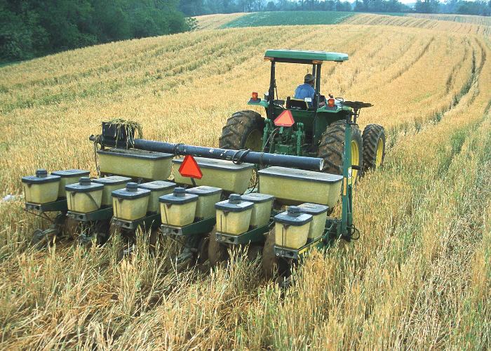
This tool takes into consideration site specific characteristics including soil types, slope and the farm's management practices to suggest a buffer width providing similar benefits to what a 16.5 or 50 foot buffer would. Where the buffer law calls for a 16.5 foot buffer on public ditches and a 50 foot buffer on public waters, landowners can reduce the required width of the vegetative strip to a minimum of 5 feet on public ditches and 16.5 feet on public waters. These minimum widths can be reached by utilizing a combination of conservation practices including conservation tillage, cover crops and other best management practices on farms.
The tool is based on scientific research looking at the effectiveness of 16.5 and 50 foot buffers in preventing phosphorous and sediment runoff. The tool helps determine what combination of alternative practices provide the same effectiveness of a buffer on a variety of land and soil types.
Decision Support Tool Components (Archived)
Quick Start Guide:
Buffer Tool Quick Start Guide (pdf)
Tool Considerations:
Tool Example:
Decision Support Tool Example (pdf)
Decision Support Tool (excel)
AgroEcoregions Map:
University of Minnesota Decision Support Tool Research Article (Archived)